rasdaman WCS is the first product to be validated as an INSPIRE complaint Download Service, fully following the requirements laid down for INSPIRE Download Services in both the COMMISSION REGULATION (EU) No 1088/2010 of 23 November 2010 amending Regulation (EC) No 976/2009 as regards download services and transformation services as well as the Technical Guidance for the implementation of INSPIRE Download Services using Web Coverage Services (WCS).
These developments are fully in line with the work done under the INSPIRE Good Practice OGC compliant INSPIRE Coverage data and service implementation, finally enabling the provision of gridded data under the INSPIRE Themes Elevation (EL), Geology (GE), Land cover (LC), Land use (LU), Natural risk zones (NZ), Orthoimagery (OI), Soil (SO) and Energy resources (ER).
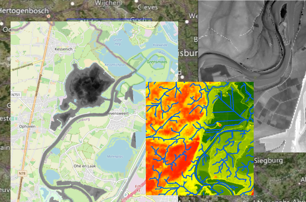
This work was supported by Rijkswaterstaat, the Ministry of Infrastructure and Water Management in the Netherlands, who initiated a Proof-of-Concept in which the rasdaman implementation of WCS was utilized for the provision of elevation and bathymetry data. This data was complemented with point-based measurement data (e.g., water levels, precipitation forecast) provided via SensorThings API. This work was done by the cooperation with Sweco and Wetransform GmbH. It has not only proven the feasibility if this solution, but also provided valuable guidance material on all aspects of elevation data provision and use.
Jordi Escriu, Scientific Project Officer at the European Commission Joint Research Centre (JRC), points out the key contribution of rasdaman: "The team involved led the process of implementation of INSPIRE requirements while keeping consistency with these OGC standards" and emphasizes, "This has been a key support for developing the ‘ OGC compliant INSPIRE Coverage data and service implementation’ INSPIRE good practice", assuring a technical feasible solution.
In addition to the Web Coverage Services (WCS) and Web Coverage Processing Service (WCPS), OGC supports additional standards for point-based measurements: Sensor Observation Service (SOS) and OGC SensorThings API (STA). Real-world use cases usually require access to both gridded and point based sources, integrating these complementary standards, providing access to different aspect of spatial data measurements.
Kathi Schleidt, consultant on environmental data modelling and founder of Datacove e.U. in Austria, has been deeply involved into the INSPIRE topic, primarily focusing on point-based measurement data. Due to the complementary nature coverage data, these have been extended to her repertoire, providing strong input to the INSPIRE Coverage Good Practice. In recent years she was active in the API4INSPIRE project, where the potential of both the OGC SensorThings API as well as the OGC API - features for use within INSPIRE -has been developed. She says: "I'm looking forward to seeing what interesting and relevant data resources finally becoming accessible now that barriers to use of WCS within INSPIRE have been resolved.”


