


This Marks DroneBase’s First Entry Into Software Solutions
LOS ANGELES — (BUSINESS WIRE) — July 16, 2019 — DroneBase, the leading global drone services company, today announced that it has acquired Betterview’s drone roof inspection software and services, establishing the company’s first foray into analytics and first purchase. The transition will seamlessly carry over both the software technology and customers to DroneBase, while Betterview will solely focus on its risk management platform, which is based on manned aircraft and satellite imagery.
This press release features multimedia. View the full release here: https://www.businesswire.com/news/home/20190716005729/en/
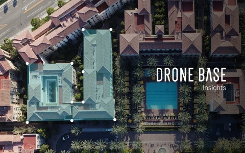
DroneBase Insights (Graphic: Business Wire)
“DroneBase’s mission is to provide businesses with fast, affordable, and reliable data to make better informed decisions, and we’ll continue to fulfill that mission by providing drone services to our analytics partners and an end-to-end solution for Betterview’s clients,” said Dan Burton, Founder and CEO of DroneBase. “Having worked with Betterview for almost two years, we have been impressed with their platform and its solutions. We will continue to enhance the technology by pairing our trove of aerial data with analytics and artificial intelligence.”
The Betterview drone inspection software, now called DroneBase Insights, aims to help insurers and property managers to assess damage and mitigate risk for commercial properties. The platform is currently used by industry leaders, such as Berkshire Hathaway Homestate Companies. DroneBase Insights will allow the drone services company to tap into its years worth of aerial data and better serve partners in insurance, property management, commercial real estate, and more.
“Since late 2017, DroneBase has been a trusted partner of Betterview and they have consistently proven to be reliable, fast, and customer-centric,” said David Lyman, Co-Founder and CEO of Betterview. “One of the benefits of this transaction is that it will allow P&C insurers to triage their drone inspections by quickly identifying high-risk properties via Betterview’s platform or API. When carriers need to dig deeper, they can order a drone inspection from DroneBase and receive a detailed roof report that contains analysis along with high-resolution imagery.”
By selling its software to DroneBase, Betterview has fully shifted its focus to its risk management platform, which leverages machine learning, computer vision and geospatial data to deliver data, analysis and insights on commercial and residential properties throughout the United States.
About DroneBase
DroneBase is the largest global drone operations company, which provides businesses with stunning aerial information to make better, real-time decisions about their most critical assets from the world’s largest Pilot Network. Based in Los Angeles, the company is the trusted, go-to platform for aerial images and data for worldwide enterprise commercial clients across multiple industries such as residential and commercial real estate, insurance, telecommunications, construction, and media. DroneBase has completed over 100,000 commercial missions flown in over 70 countries and in all 50 states. The company was incubated by Y Combinator and has raised funding from FLIR Systems, Union Square Ventures, Upfront Ventures, Hearst Ventures, Pritzker Group, Accel Partners, SV Angel and DJI.
About Betterview
Betterview provides property insight and workflow tools for insurance companies to improve the customer experience by accelerating decisions and improving risk at every point of the life cycle. For more information about Betterview, visit: https://www.betterview.net
View source version on businesswire.com: https://www.businesswire.com/news/home/20190716005729/en/
Contact:
Press Contact:
For DroneBase
Cassie Lawrence
cassie@jsastrategies.com
909-896-6130
For Betterview
Paul Ptashnick
paul@betterview.net
781-234-8844


 Animation, 3D Art and 3D Models")